The route passes through Fairy Meadows which has been a renowned ski touring destination for years.
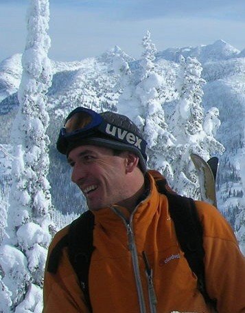
This picture was taken about fifteen years ago on my first trip to the area.

 If we can knock off a few ski descents on the way that would be icing on the cake. The pleasure of removing the big pack and whooping it up will make up for the miles of slogging. This is Mt. Iconoclast in firm ankle deep powder a couple of years ago.
 It's been a lot easier to "fly" the route on Google Earth. Searching for Rogers Pass and Mica Creek in British Columbia will give a rough idea on the route. There are a couple of variations depending on enthusiasm, snow conditions and weather. We are going to start at Rogers Pass on April 2nd and hope to finish at Mica Creek around mid April. We have a food cache at the Fairy Meadows Hut for 6 days. See you soon. Here is the link to a Google fly-over that I completed after the trip detailing the major peaks and campsites etc. It's pretty cool. Interesting way of doing a guidebook