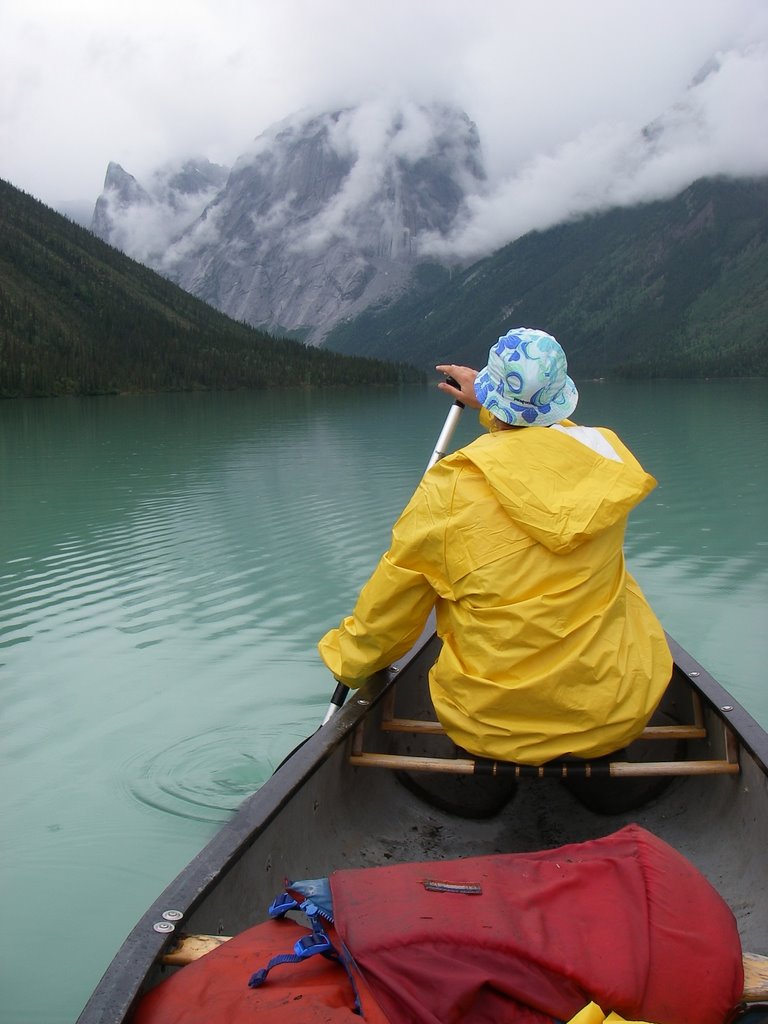
 After two days of paddling it was time to start the hike into the Cirque. Starting at our usual 2pm we left our canoe at Brittnell Creek and made our way through the swamps and moose meadows that is sometimes called a trail. There is an occasional strip of flagging tape and once in awhile the trail becomes obvious. I have the GPS co-ordinates of the trail if anyone wants it. We got to the canoes on the edge of Glacier Lake and paddled across to our campsite below the Cirque. Nice to get to camp before 8pm and prior to a spot of rain. It did seem an awfully long way up to the Cirque. It is one of the reknowned areas known to climbers around the world as location of one of the 50 Classic Climbs of North America - the Lotus Flower Tower. Oh well, if the weather looks promising tomorrow we will check it out. Meanwhile, what an awesome campsite and this is pretty remote. Where are we anyhow? "Up North" is the best answer as it is vague enough for this immense landscape.
Tuesday, October 24, 2006
Glacier Lake
After two days of paddling it was time to start the hike into the Cirque. Starting at our usual 2pm we left our canoe at Brittnell Creek and made our way through the swamps and moose meadows that is sometimes called a trail. There is an occasional strip of flagging tape and once in awhile the trail becomes obvious. I have the GPS co-ordinates of the trail if anyone wants it. We got to the canoes on the edge of Glacier Lake and paddled across to our campsite below the Cirque. Nice to get to camp before 8pm and prior to a spot of rain. It did seem an awfully long way up to the Cirque. It is one of the reknowned areas known to climbers around the world as location of one of the 50 Classic Climbs of North America - the Lotus Flower Tower. Oh well, if the weather looks promising tomorrow we will check it out. Meanwhile, what an awesome campsite and this is pretty remote. Where are we anyhow? "Up North" is the best answer as it is vague enough for this immense landscape.
Subscribe to:
Post Comments (Atom)


1 comment:
Trevor:
Can you e-mail me the waypoints for GPS for the trail to the Cirque? Thanks.
Barry
Post a Comment